Scientific research requires collecting and generating a vast amount of data, including geospatial data such as sensor data or citizen science data sets. However, many times it is not possible to reuse or exchange this information amongst different platforms and the efforts to get it are doubled. This is the reason why the core objective of e-infrastructures, such as the European Open Science Cloud (EOSC), is to enable the sharing of research data.
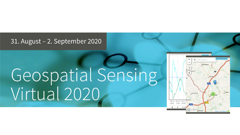
Within this context, Joan Masó, a researcher at CREAF and GRUMETS and leader of the interoperability work package at the Cos4Cloud project, gave the inaugural speech and acted as a keynote at the Geospatial Sensing virtual 2020 organized by the company 52º North. His presentation: ‘Enable true multidisciplinary applications in the emerging research e-infrastructures through geospatial standards,’ explained the role of geospatial standards to facilitate the creation of multidisciplinary applications that integrate data from various domains.
During the talk, Joan Masó illustrated the need to use standards through the European H2020 project Cos4Cloud, which especially addresses the interoperable handling of citizen science data by extending standards initially developed for the Internet of Things as part of the EOSC.
‘Working on the projects’, tools and services interoperability is an essential piece in the Cos4Cloud project to integrate the ten developed services and resources in the EOSC ecosystem and find a common vocabulary between citizen science observatories,’ says Joan Masó. This will make it possible to reuse, share or integrate the data among different platforms and the EOSC.
You can watch the full webinar.
Open Geospatial Consortium
Besides, during the OGC Working Group Webinar Series last June 2020, Joan Masó Pau discussed the latest developments of the Open Geospatial Consortium’s most popular standard, the OGC Web Mapping Service. This service allows users to dynamically request maps from a server. Every OGC Web Mapping Service is individually configured and can serve a multitude of different maps, a combination of layers and can optionally even be styled with different cartography. In the OGC, Joan Masó is leading the effort of defining a new web API that will provide similar functionality but better integrated with modern web practices.
You can watch the full webinar here by clicking here.
If you want to know more about Joan Masó, we invite you to read the article ‘Joan Masó against the digital Tower of Babel‘, published on CREAF blog.