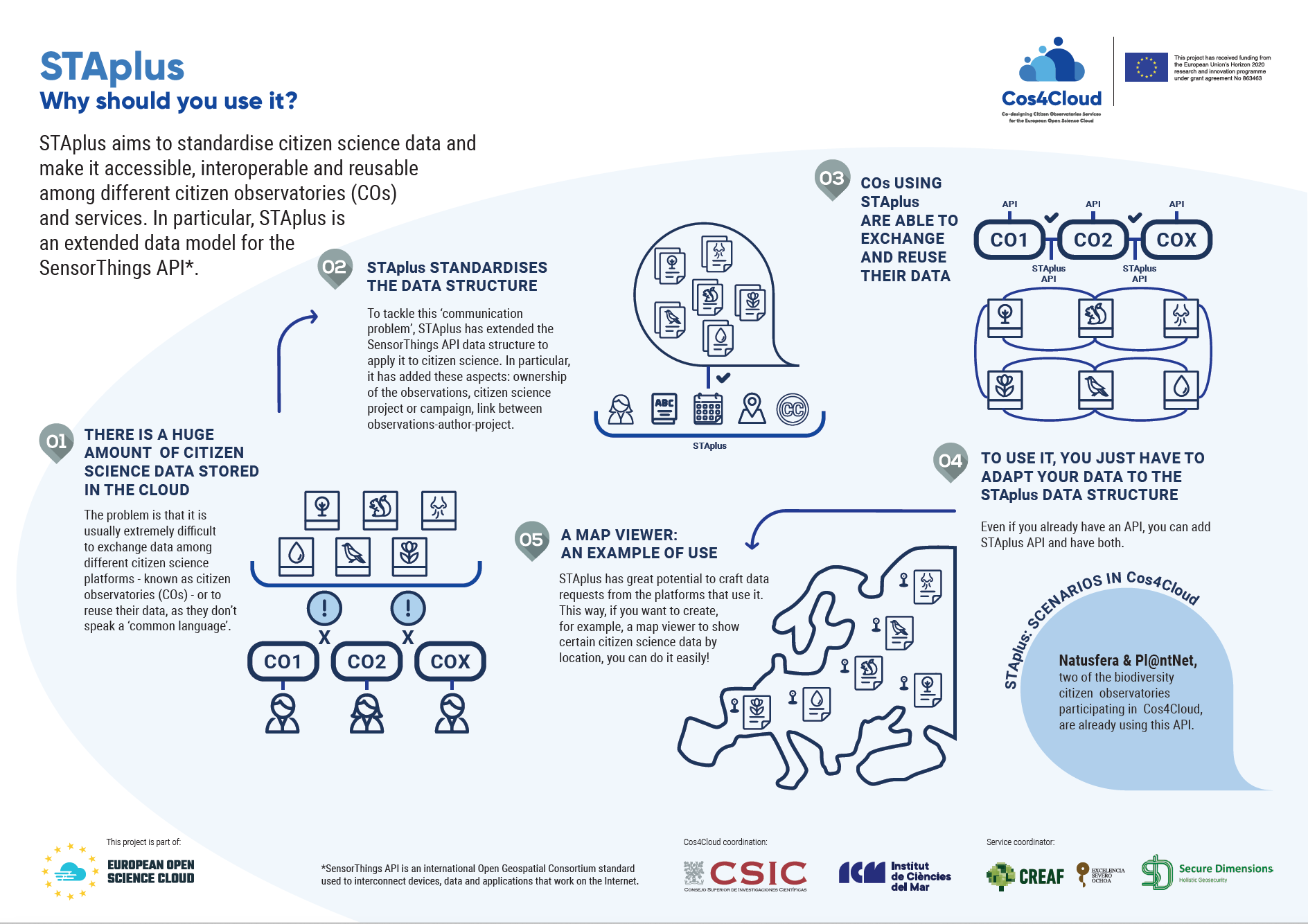
STAplus aims to standardise citizen science data and make it accessible, interoperable and reusable among different citizen observatories (COs) and services. In particular, STAplus is an extended data model for the SensorThings API.
STAplus has extended the SensorThings API data structure to apply it to citizen science. In particular, it has added these aspects: ownership of the observations, citizen science project or campaign, link between observations-author-project.
*SensorThings API is an international Open Geospatial Consortium standard used to interconnect devices, data and applications that work on the Internet.
Development & functioning :
STAplus has great potential to craft data requests from the platforms that use it. This way, if you want to create, for example, a map viewer to show certain citizen science data by location, you can do it easily.
STAplus is ready!
100%
Innovation for citizen observatories:
STAplus standardises citizen science data and make it accessible, interoperable and reusable among different citizen observatories (COs) and service.